What to do in the Flats
Cleveland Outings
Walking along the Cuyahoga River in the Flats is one of Cleveland’s true treasures
October 8, 2021
This summer, for the first time, I lived away from home, away from my parents and by myself. I was lucky enough to have spent this time in Cleveland, which is quickly rising on my list of favorite cities. With its varied neighborhoods, strong institutions, access to nature and tons of attractions, Cleveland has a multitude of ways to sneak into your heart. After going around, you just might find yourself falling in love with our little midwestern abode. The city has its problems for sure, but as students of Case Western Reserve University, we owe it to ourselves to get out and explore the area we reside in. While many students don’t venture out of University Circle that much, it is often because they are unaware of what is out there. To that end, “Cleveland Outings” returns with a focus on the up-and-coming neighborhood, the Flats! Right in the center of the city, straddling the east and west sides of Cleveland, the Flats are unique in location and atmosphere, with a pervasive youthful, vibrant energy that still contains elements of Cleveland’s industrial past.
Public transportation:
Getting to the Flats is pretty simple, but also more complicated than it needs to be. You see, there is an RTA rapid train line that goes straight from downtown to the Flats East Bank. However, this Waterfront Line is closed for at least 24 months due to structural issues in a bridge that the trains go over. As such, it is best to just go downtown using public transit and walk the half mile from there; I swear it isn’t that bad! Along the way, you can pass through the Warehouse District, which is known for its restaurants and renovated residences. To get downtown, you have multiple options. Those on the north side of campus can take the Healthline bus straight down from the 115th Street stop all the way to Public Square. For those who prefer the Rapid Transit trains instead, just go from the Little Italy-University Circle Station and take the Red Line down to Tower City-Public Square Station. For those living on the south side of campus, your best bet is to take the Red Line from the Cedar-University Station down to Tower City. Even if it would have been nice to take the connection from Tower City to the Flats, the walk is short and goes through a nice area, so that should not be a deterrent. In exchange for the short hike, you can experience the Cuyahoga River in all its glory.
Things to do:
Adjoining the Cuyahoga River, the Flats are in a low-lying region of Cleveland. In fact, to get down there, you’ll need to go down a slope from the Warehouse District. But once you get there, you get quite a view of Cleveland’s expanding waterfront. Once an industrial area, filled with refineries, factories and foundries, the riverbanks have changed quite a bit into one of the most lively areas in the entire city. Though the Cuyahoga has quite the reputation, catching on fire many times through the 20th century, most notably in 1969, the introduction of the 1972 Clean Water Act and the Environmental Protection Agency has dramatically improved the cleanliness of the area. And since the 2010s, millions of dollars have been pumped into the area, completely redeveloping it. This process still continues to this day, with new infrastructure arriving every single year. Now the area abounds with parks, restaurants and public attractions.

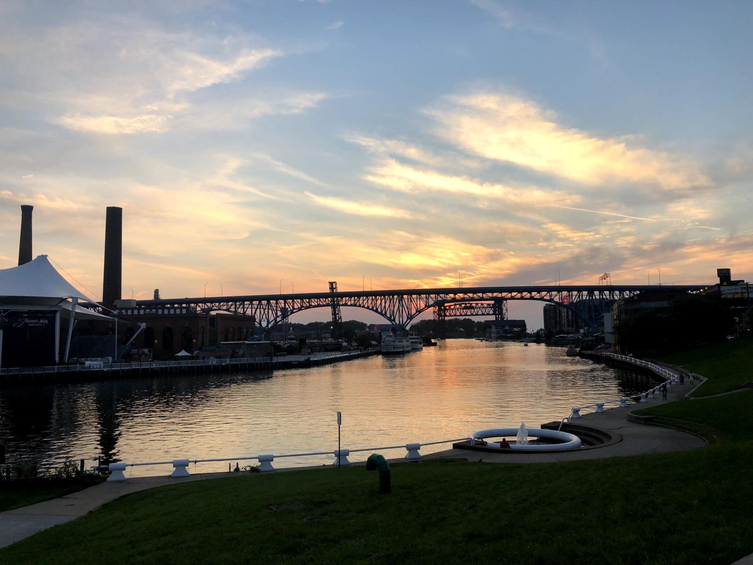
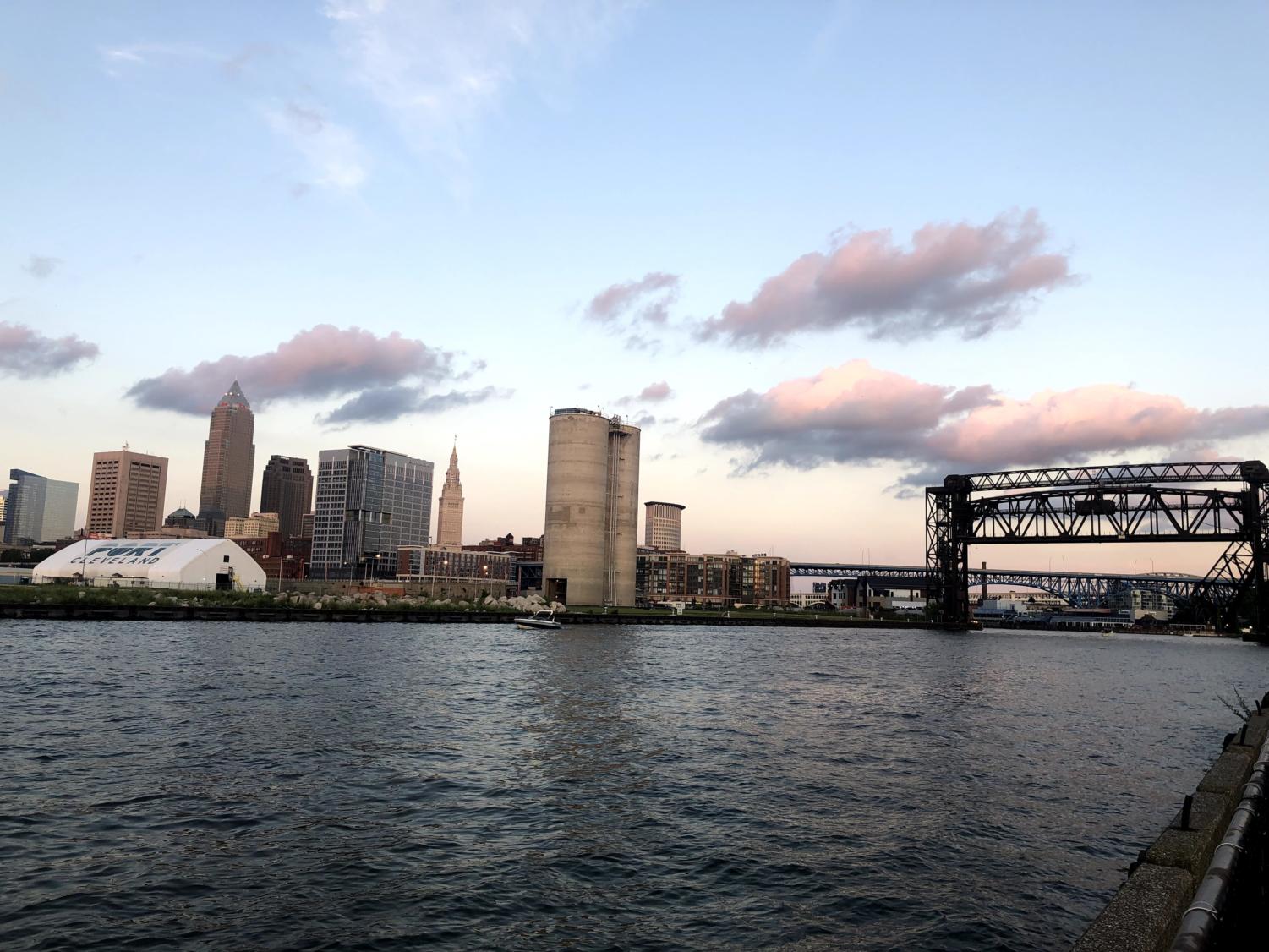
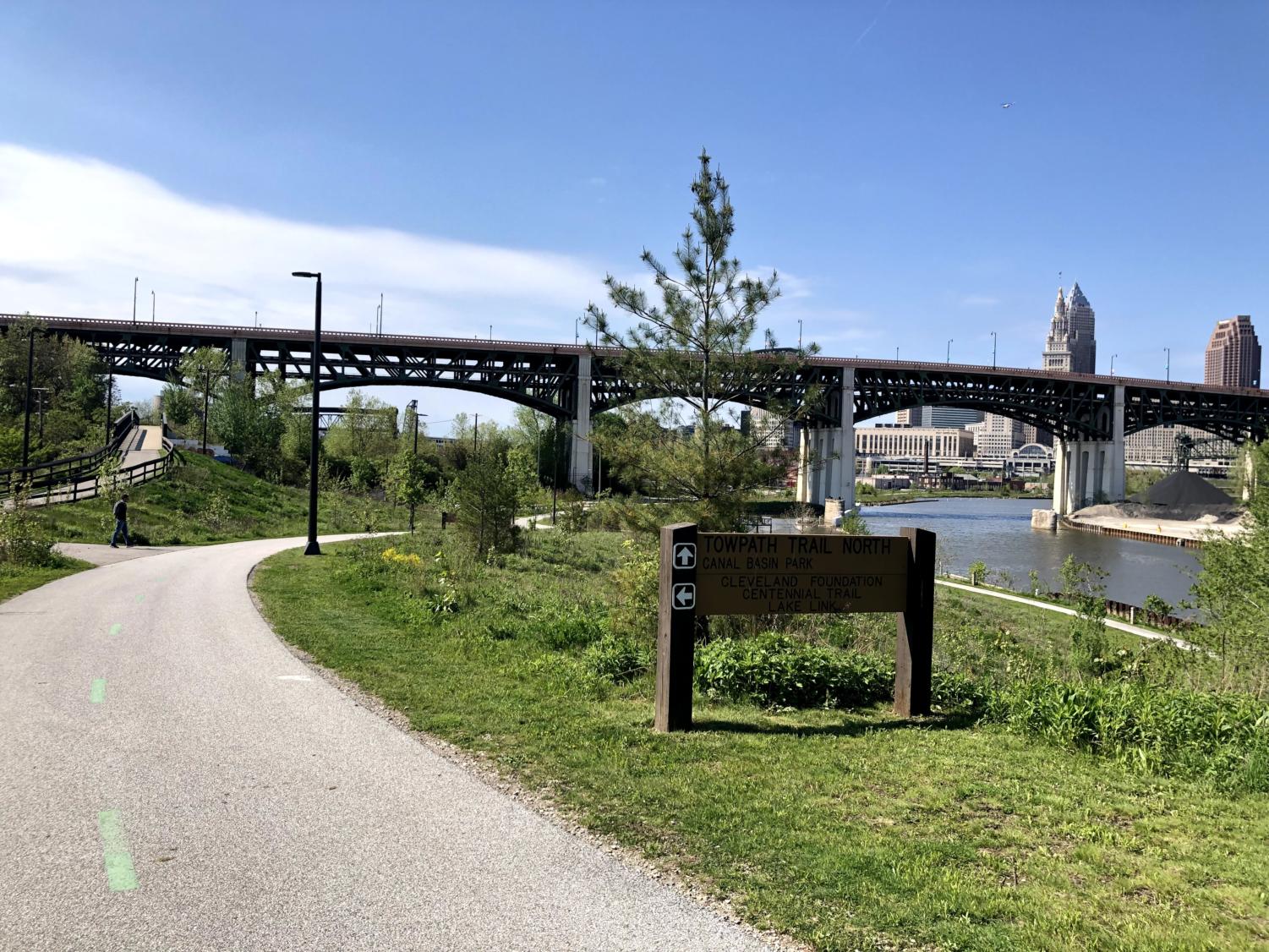
The defining feature of the Flats is the river itself, with the entire area built around it. On the East Bank, a large riverwalk is traversable, connecting parks and restaurants. Starting off on the south side, we have Rivergate Park, right across the river from Ohio City. Here one can find a skate park, a patio, a boat launch and the American restaurant Merwin’s Wharf, which is operated by Cleveland Metroparks. Going north, we have Canal Basin Park, which is poised for a major expansion this year, with former parking lots being converted into green space. Even further down the line, a new pavilion will be built, along with an even further addition of green space. In the meantime though, Canal Basin Park acts as the convergence of a number of walking trails, most notably the Towpath Trail which runs all the way through Cuyahoga Valley National Park. Further north from there is Settler’s Landing Park, which marks the location at which city founder Moses Cleaveland first arrived. A replica of one of the original cabins from his surveying party stands there today and is a good reminder of how far this city has come. As you walk north from there along the river, we start getting into the commercial area of the East Bank. From local favorite Alley Cat Oyster Bar, to the aesthetic Lindsey’s Lake House, to the more popping Dante’s Inferno, there are a number of restaurants to choose from, with more establishments opening regularly. My personal favorite is Collision Bend Brewing Co. with its great views of the river from its balcony. New construction is also planned on the East Bank, building new housing developments and mixed-use buildings, so things can only go up from here.

Getting over to the West Bank is relatively easy, with a free water taxi service usually available to cross the river. More restaurants are here, along with more social places such as the Cleveland Improv comedy club, the party-hub Shooters on the Water and the Music Box Supper Club, which boasts spectacular views from its hall. Even further north from there is Wendy Park, a once overlooked lakefront area on Whiskey Island that has recently been redeveloped, with many more access points. A new bridge connector makes it easier to get to than ever and gives greater accessibility to its water sports, sand volleyball courts and beer garden. A historic Coast Guard station also delivers a skyline view that can otherwise only be seen from the lake itself, so it’s worth the trek. One can even walk or bike from Wendy Park all the way to Edgewater Park in Detroit-Shoreway using another new connector that was just built. In general, the west side is becoming much more interconnected for pedestrians between all the parks and landmarks.
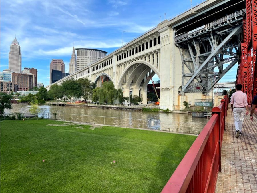
Going back south down the river on the West Bank, you can see the Greater Cleveland Aquarium, which is in a converted power plant. Despite its small stature, it’s still an enjoyable visit, mostly for the underground glass tunnel they have where sharks swim around you. Jacob’s Pavilion, connected to the aquarium, is also a very popular concert venue right on the river, so catch a show there sometime. The last park in the area is Heritage Park, right below the Superior Viaduct, which boasts another great skyline view. It also has some benches that are very relaxing to sit in while you watch the giant freighters pass by. More development is also planned for this area, with the planned Irishtown Bend park expanding the riverfront on the west side and allowing for greater connectivity between the Flats and Ohio City. It will also connect Wendy Park to the Towpath Trail and the newly constructed Red Line Greenway trail as well, making it a true connecting point for the entire west side.

While the Flats are great to be in today, there is so much more to look forward to. Cleveland seems to be on an upward trajectory, but where the new projects are and how public they will be is still up for debate. It’s up to all of us to be active in our communities and use the existing public infrastructure to make sure that investment and development continues.


